Posts

Showing posts from November, 2023

What does an atlas tell us about countries?

Image
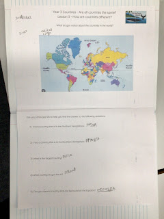
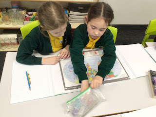
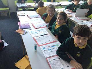
 During this week’s  lesson, the children used an atlas to describe what similarities and differences they saw on a world map. They began to use the index to help them locate different countries and reinforce which hemisphere they were in as well identifying if the countries were land locked.  Some amazing observations and discussions as they located countries made up of small islands as well as finding the smallest country in the world. Do you know what it is or where it is located? 

What makes a country a country?

Image
 What a great lesson. The children recapped their knowledge about hemispheres and the Equator. Then, they were introduced to an atlas as well as the index to help them find countries of the world. Using the atlas allowed them to see how countries are different from: size, shape, names and near the oceans as well as the different hemispheres. Then the watched a short clip which explained what a country needs to identify as a country. The children decided that La country needed a flag, currency, borders, a government, religion, language, passport, ruler. mountains  and rivers. 

Countries

Image
 This term, year 3 will be studying all about countries.  Below, you can find their journey and their vocabulary mat.  During their first lesson, the children recapped the 7 continents and 5 oceans as well as looking at the Equator. From there, they split the Earth in half horizontally and made two hemispheres . These two hemispheres are known as the Northern and Southern Hemispheres. We live in the Northern Hemisphere and it has the biggest population as there is more land. However, in the Southern Hemisphere there is more water and a smaller population.