Posts

Volcanoes

Image
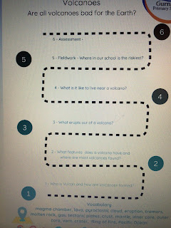
 This half term, the children will be studying all about volcanoes. Have a look at our learning journey.  The first lesson was so exciting as the children learnt about how volcanoes are formed. First, the children found out about the 4 layers of the Earth and what they were made up of.  Then they watched a video which demonstrated how the magma rises up through the Earth’s crust and forms a mountain/volcano. Some children even acted it out.  One child was so excited that he had geography this term, he brought in his amazing map book to share with Mrs Gregory. It was so kind and as a class we looked at some of the pictures together. 
What do we have in common with India?

Image
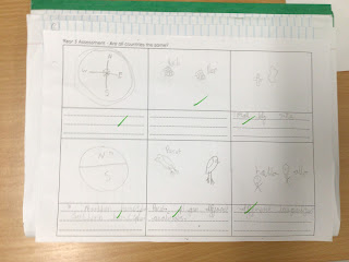
 This week, the children were given 5 items: aeroplane, basket, leaves, mug and a teabag. The children had to decide what we have in common with India; tea.  They then discussed why India can grow tea and England can’t. From there they watched a clip as to how tea is made. The children didn’t know that tea starts out growing on a bush.  Lastly, they completed an assessment to answer the question, Are all countries the same? A great understanding by all children. 

What is similar and different about the human geography of India and England

Image
 Today’s lesson compared the differences and similarities of  India and England’s human geography.  To begin with, the children recapped the definition of human geography. Then they discussed what they already knew from reading, movies, the news, family and holidays. They quickly identified flags, money, population, language and that both countries can be found in the Norther Hemisphere.  They then looked at some clips about India and found that their dress for both men and women are different, foods, transport, national flowers and animals as well as some of the famous landmarks.  One child said, “We are pretty much the same, just a few differences that work for them,”

What does an atlas tell us about countries?

Image
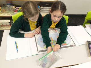
 During this week’s  lesson, the children used an atlas to describe what similarities and differences they saw on a world map. They began to use the index to help them locate different countries and reinforce which hemisphere they were in as well identifying if the countries were land locked.  Some amazing observations and discussions as they located countries made up of small islands as well as finding the smallest country in the world. Do you know what it is or where it is located? 

What makes a country a country?

Image
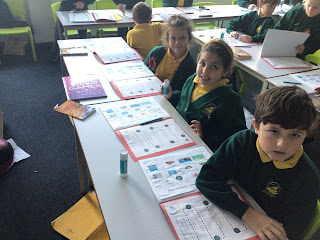
 What a great lesson. The children recapped their knowledge about hemispheres and the Equator. Then, they were introduced to an atlas as well as the index to help them find countries of the world. Using the atlas allowed them to see how countries are different from: size, shape, names and near the oceans as well as the different hemispheres. Then the watched a short clip which explained what a country needs to identify as a country. The children decided that La country needed a flag, currency, borders, a government, religion, language, passport, ruler. mountains  and rivers. 

Countries

Image
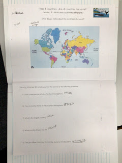
 This term, year 3 will be studying all about countries.  Below, you can find their journey and their vocabulary mat.  During their first lesson, the children recapped the 7 continents and 5 oceans as well as looking at the Equator. From there, they split the Earth in half horizontally and made two hemispheres . These two hemispheres are known as the Northern and Southern Hemispheres. We live in the Northern Hemisphere and it has the biggest population as there is more land. However, in the Southern Hemisphere there is more water and a smaller population.   

French : lesson 4 : numbers

Image
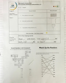
 Year 3 practised their song and learnt numbers 1-10, which they sang. They then matched the numbers and completed  a crossword.